
News
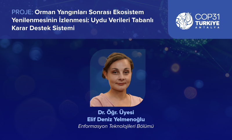
Işık University’s Project on Monitoring Ecosystem Regeneration After Forest Fires at COP31
19 October 2026
Our university’s project, “Monitoring Ecosystem Regeneration After Forest Fires: A Satellite Data-Based Decision Support System,” which aims to monitor and improve the ecological restoration process in areas affected by forest fires, has been accepted within the scope of the United Nations Climate Change Conference (COP31).
The project, carried out by Asst. Prof. Dr. Elif Deniz Yelmenoğlu, a faculty member of the Department of Information Technologies, aims to monitor the recovery of ecosystems following forest fires and to support more effective planning of ecological restoration efforts through the use of satellite data and spatial analysis techniques.
Within the scope of the project, vegetation changes in burned areas are analyzed over time using cloud-based geographic information systems and high-resolution, open-source satellite imagery. The data obtained through image processing and algorithmic analysis techniques enable the assessment of ecosystem development following fires and the monitoring of recovery processes at the spatial level.
One of the concrete outputs of the project is a prototype interactive digital dashboard that makes the results of these analyses accessible to decision-makers. The system provides a data-driven decision-support infrastructure for prioritizing afforestation efforts and developing strategies to enhance ecosystem resilience.
The project, introduced within the scope of COP31, demonstrates the potential of satellite technologies and data analytics in combating climate change, supporting ecological restoration following forest fires, and promoting sustainable ecosystem management. It also brings science and technology together through innovative solutions that contribute to nature’s recovery process.